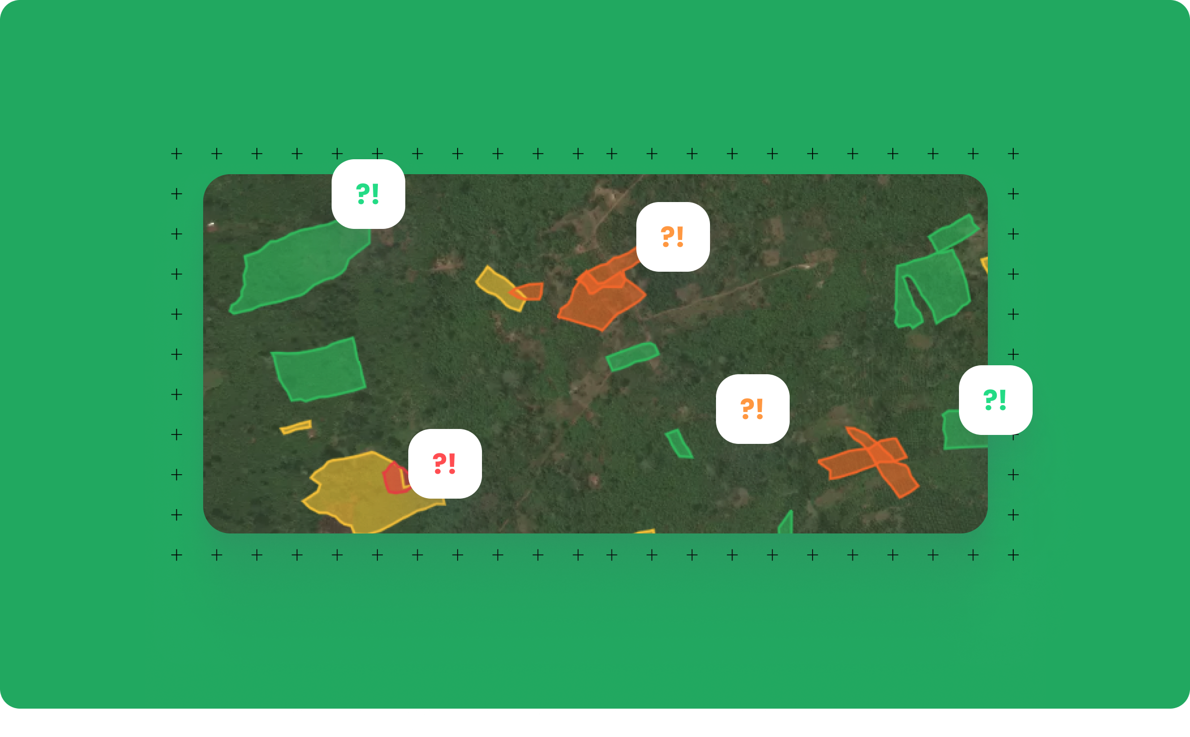
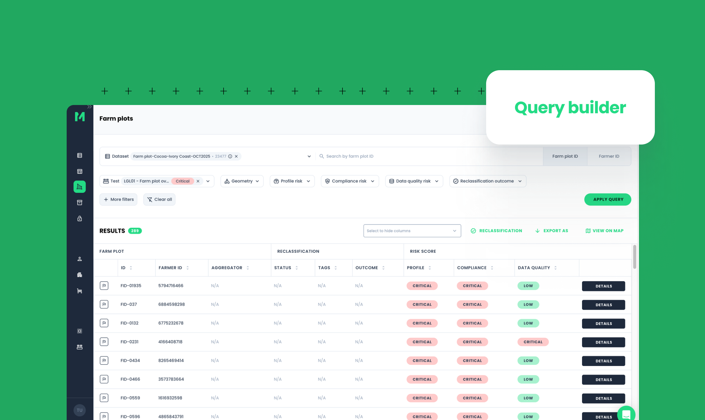
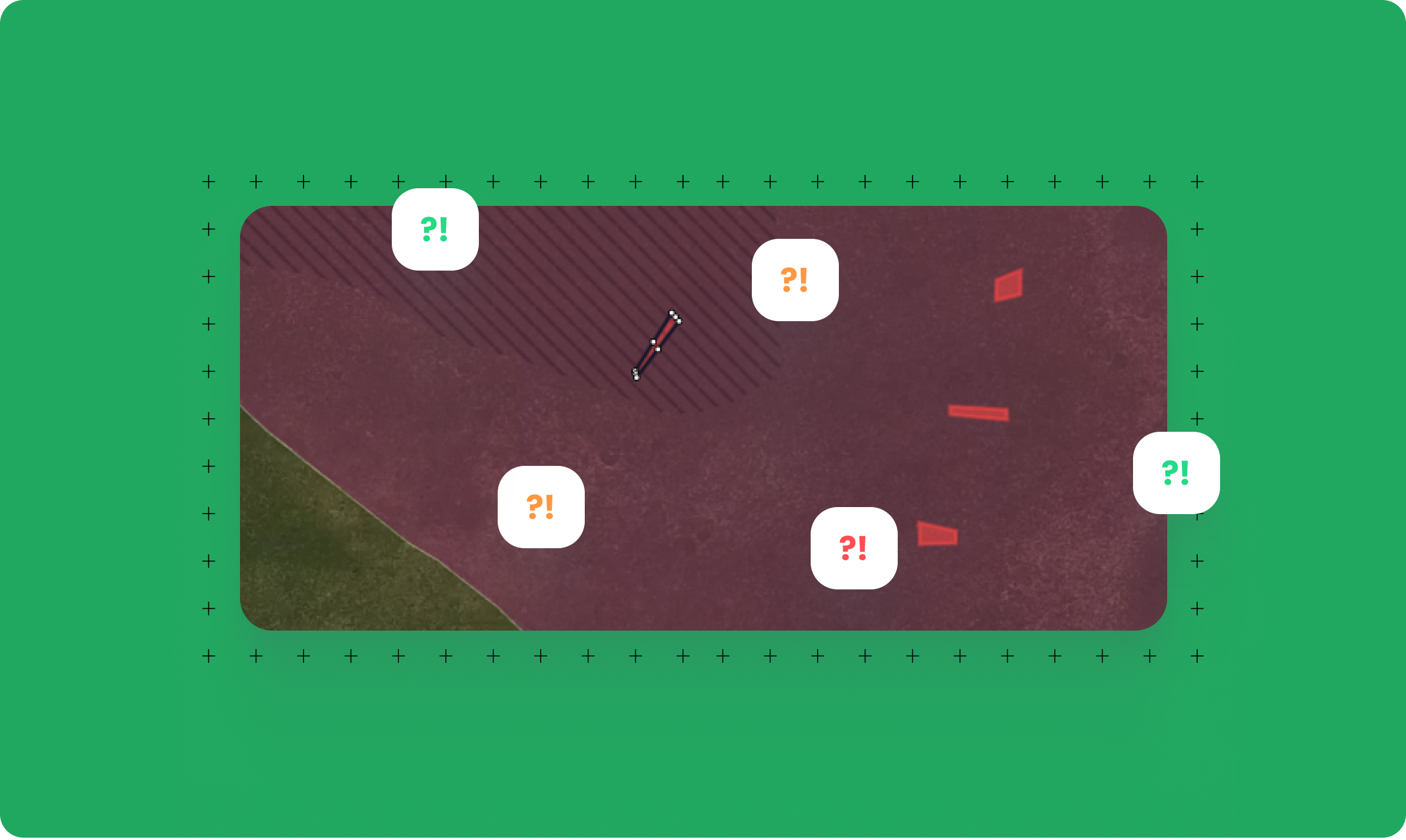
High-quality field data and deforestation monitoring are key for compliance with the upcoming EU Regulation on Deforestation-Free Products (EUDR). For remote sensing companies, we ensure the verification of geolocation data so that they know their data is accurate.
Possibilities of remote sensing
Remote sensing companies have fantastic technology to remotely monitor farmland of, e.g. smallholders. They can:
- Detect crop vegetation
- Detect deforestation
- Measure carbon
- Detect farm plot boundaries for crops with straightforward boundaries and no canopy cover (typically annual/staple crops)
- Collect agronomic data
Limitations of remote sensing
Doing so remotely instead of on the ground does, however, presents some challenges. To be able to identify deforestation risks and carbon changes and have data ready for compliance with EUDR regulation, with remote sensing, it is not or hardly possible to:
- Detect farm boundaries for perennial crops or crops with canopy cover
- Collect biodata on the farmer and/or landowner (i.e., farmer name)
- Collect traceability data linking the plot of land to a particular farmer and up into the supply chain (e.g. cooperative, processor, and aggregator)
- Obtain data privacy and data sharing consent from the farmer
EUDR data requirements
Based on the current legal and technical text of the EUDR, all the above data points that cannot be collected with remote sensing will be needed. Therefore terrestrial data collection will be a hard requirement that cannot be circumvented.
Remote sensing + Meridia’s field data verification
Meridia delivers reliable data sets from the field that remote sensing companies can use for their deforestation analysis and identification of deforestation hotspots. In addition, data provided by businesses to remote sensing companies for analysis can be verified by Meridia to ensure the data is accurate and in line with EUDR requirements.


