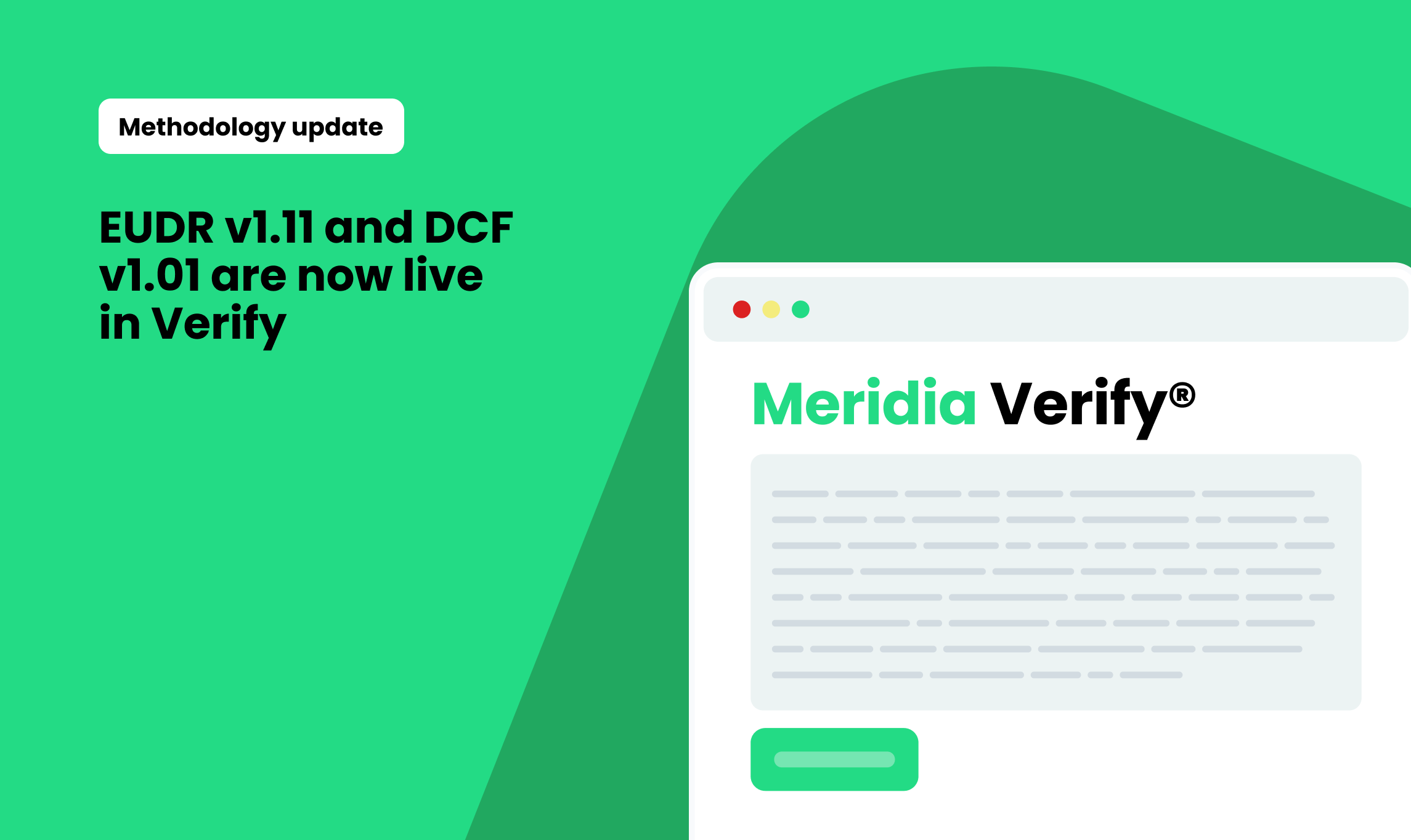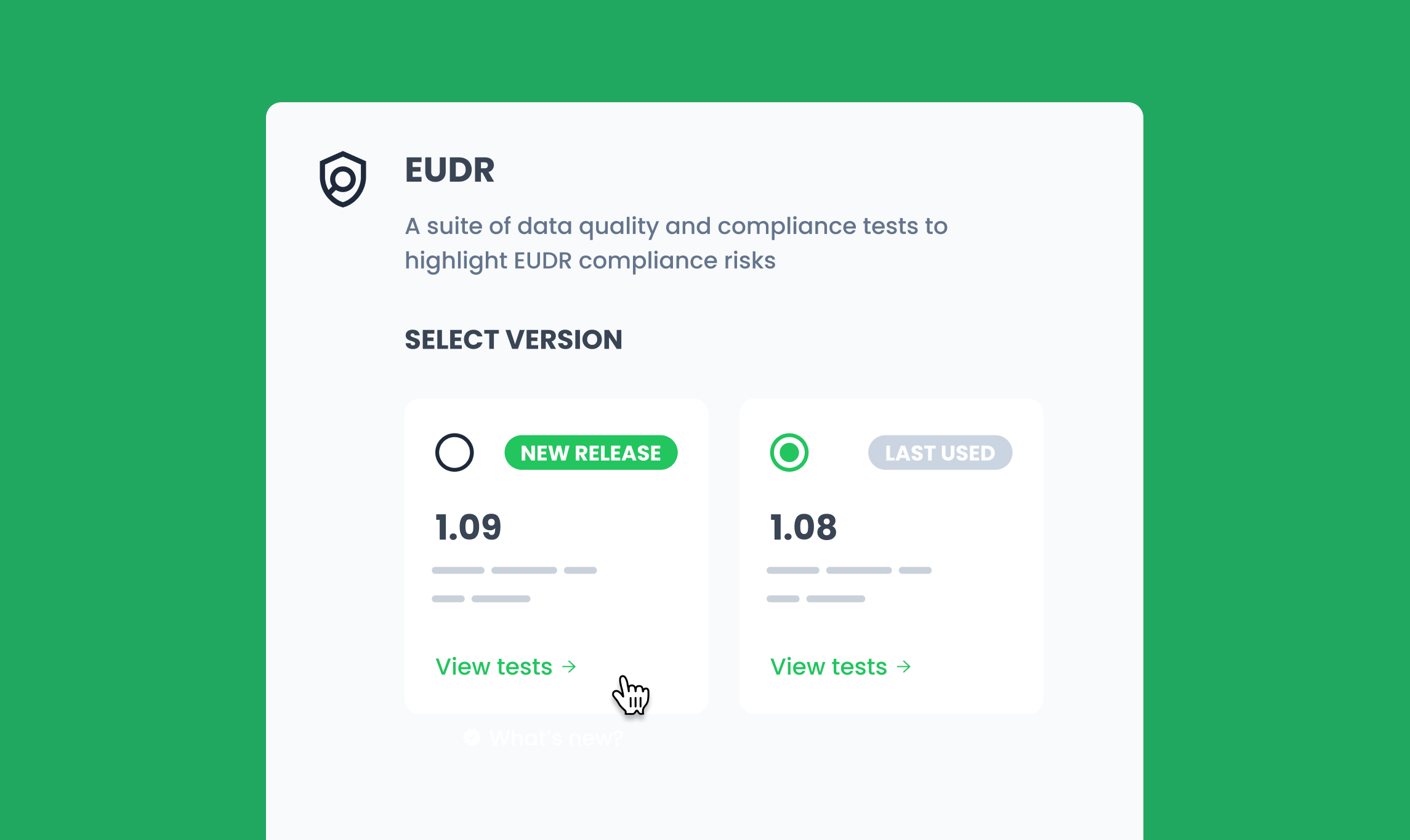
Verify EUDR v1.09 introduces important enhancements focused on annual monitoring, expanded protected areas mapping, and clearer risk logic.
1. Deforestation map annual updates: rolling deforestation activity monitoring
A large group of countries (Cameroon, Costa Rica, El Salvador, Ghana, Guatemala, Honduras, Indonesia, Ivory Coast, Malaysia, Nicaragua, Nigeria, Papua New Guinea, Togo, and Uganda) will now benefit from the latest annual data updates, providing more reliable deforestation intelligence to deliver higher confidence for due diligence and compliance assessments.*
2. Protected areas: enhanced global coverage
The following countries have been upgraded/updated with IBAT: Kenya, Uganda, Peru, Colombia, Indonesia, Rwanda, Honduras, Guatemala, Brazil, Cameroon, Ecuador, Ghana, Ivory Coast, Nigeria, and Vietnam.
Protected area map versions are now referenced in the documentation, supporting more transparent validation of protected area boundaries for compliance workflows.**
3. Methodology updates: more actionable risk scoring
Updates to ATC03 (“inconsistent farmer names”) and GEC09 (“farm plot too distant from plots with same farmer ID”) refine the underlying logic:
- Risk scores will now produce “low” risk, where previously undetermined (NA) results occurred
- This provides you with clearer triage pathways and more transparent, actionable feedback
*ICE CoT EUDR Deforestation Map. Produced by Space Intelligence for use in the ICE CoT platform. Licensed by ICE Benchmark Administration Limited
** Provided by BirdLife International, Conservation International, IUCN and UNEP-WCMC.
.png)
.png)