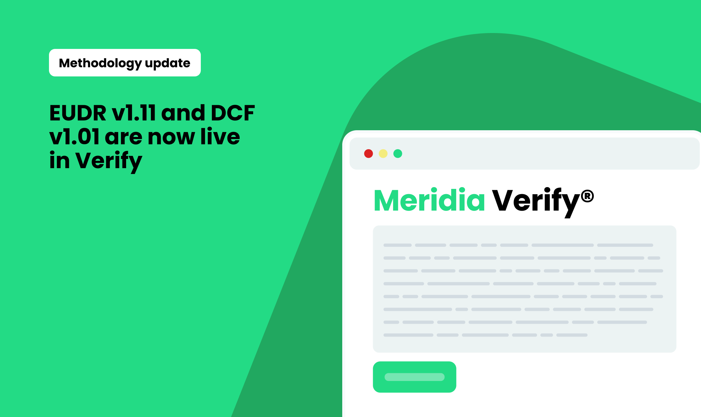
Three new updates are now live in Meridia Verify, each aimed at making deforestation and legality checks clearer, more reliable, and easier to build into your existing tools and workflows.
1. Our public API is now live and ready for external integrations
We've launched the first version of the Meridia Verify public API, which is purpose-built for customer and partner integrations.
What’s available:
- Access datasets, farm plots, and test results via stable, versioned endpoints.
- Designed for scale, with rate limits and dedicated documentation.
- Already being used by partners and clients.
Why this matters:
This API gives teams more control and flexibility. It also saves time, as it’s not necessary to log into the Verify portal for further details. You can now integrate Verify directly into internal dashboards or supplier tools, eliminating the need for portal workflows. And because it’s versioned and externally documented, it supports long-term integrations without surprises.

2. EUDR test coverage has expanded significantly
The latest version of our EUDR test profile (v1.07) features improved data and expanded country coverage.
Highlights:
- Deforestation tests now include updated layers across 40 countries (public maps) and five countries with new versions for commercial maps*: Madagascar, Colombia, Peru, Ecuador, and Brazil.
- Deforestation test outputs are more precise: if a farm overlaps with deforestation, you’ll see exactly where via the farm’s centroid and mapped overlap.
- The 'LGL01 protected areas' legality test has been rebuilt. The risk scoring now takes the legality context of each individual area into account. Farm plots in areas with very strict restrictions will receive critical risk, whereas plots in areas with less protection will score medium. The changes apply to Brazil, Cameroon, Ecuador, Ghana, Côte d'Ivoire, Nigeria and Vietnam. Additionally, we incorporated admitted farms/enclaves in Ghana and Côte d'Ivoire. Those were mapped by Meridia and integrated into the test.
Why this matters:
It reduces uncertainty. With more complete data and clear test outputs, you can see where the risks are and why a plot is flagged. This helps teams move faster from alert to decision and prioritise risk management activities, especially in large-scale screenings.
(*ICE CoT EUDR Deforestation Map. Produced by Space Intelligence for use in the ICE CoT platform. Licensed by ICE Benchmark Administration Limited.)

3. Local context for legality flags
The LGL01 legality test has just received a significant usability upgrade. If a farm is flagged for overlapping a protected area, the new interface now shows:
- The name and description of the protected area
- % of overlap or distance from it
- Local rules about farming (e.g. “Allowed with a permit”)
- Data source transparency
Why it matters:
Flags are helpful, but context is everything. With these updates, supply chain managers and auditors no longer have to guess or search for local regulations. The platform surfaces what you need to know, right in the map view, so that you can make informed decisions faster.
.png)
.png)