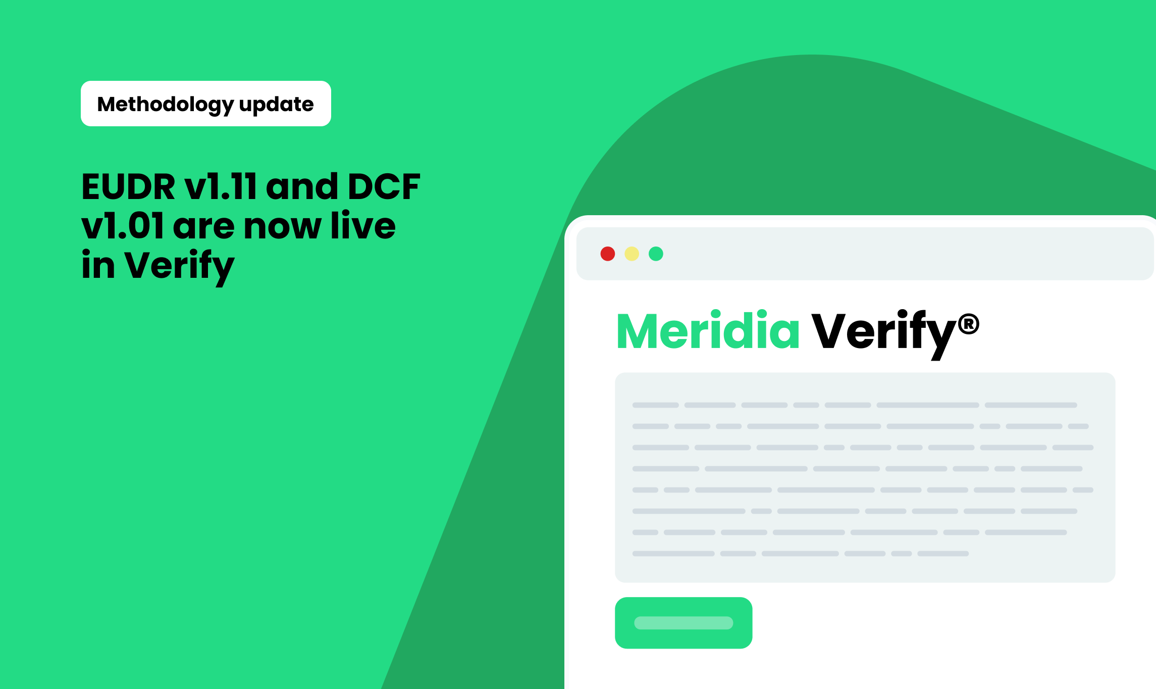
We’ve released a major update to our platform that improves how deforestation and compliance risks are identified, scored and prioritised — all to help you focus on what matters most.
Whether you're verifying farm plots, assessing legal risks, or managing complex smallholder networks, these changes mean you can act faster and more confidently.
More accurate deforestation insights
We’ve updated both our public and commercial deforestation map layers, giving you broader coverage,more recent data, and updates from widely adopted public datasets, now available in 14 additional countries.
We’ve also fine-tuned how deforestation risks are scored. The platform now places more weight on higher-quality commercial maps where available, helping you prioritise the most reliable insights, but having a secondary result to help prioritise where to review with comprehensive results. Where commercial data isn’t available, public map scoring still applies as before.
Better alignment with EUDR compliance
Our platform now reflects a more practical view of EUDR compliance risk. We’ve made several changes to how we interpret missing or ambiguous information, reducing the likelihood of false positives and low-value alerts, so you can save your MRV resources and make sure you only react to real risks.
Some checks that previously flagged unnecessary risk have been removed or recalibrated. In other cases, we’ve adjusted scoring to reflect better the role of specific data points in real-world compliance outcomes.
Fairer treatment of smallholders and edge cases
We know many small farm plots are located near villages, roads, or other built-up areas, and that older satellite data doesn’t always tell the whole story.
That’s why we’ve adjusted how we treat these situations. Risk thresholds are now more forgiving for smallholders, especially when data accuracy is limited. We’ve also redefined what qualifies as an “extreme” plot size, so you’ll only see alerts for truly unusual outliers.
Expanded country coverage
We’ve expanded our geographic coverage across multiple datasets, including new or deforestation, legal risk indicators, and Indigenous and local community territory maps. This means better visibility in key sourcing countries across Latin America, Africa, and Southeast Asia.
What this means for you
This release is all about clarity. It reduces noise, focuses attention on the highest-value issues, and improves accuracy where it matters most.
.png)
.png)