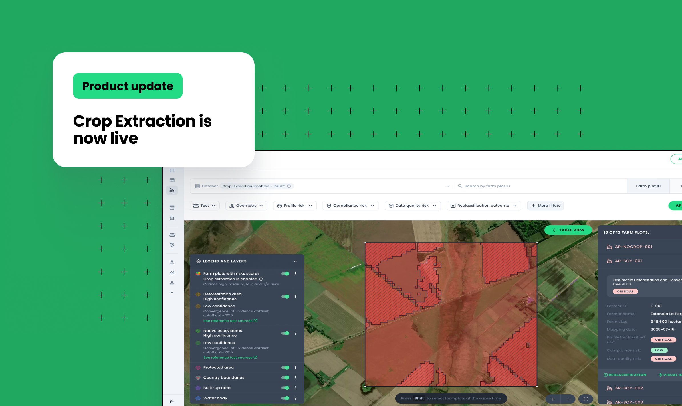
Crop Extraction is now live in Verify, within the DCF profile, giving you a sharper, more proportionate view of deforestation risk directly on the map.
When land within a farm boundary is cleared, it matters whether that clearing happened where the crop is actually grown, or somewhere else on the property entirely. Treat every hectare inside a farm polygon the same way, and you risk flagging responsible producers as harshly as those actively converting forest into cropland..
Why proximity matters
Deforestation-and Conversion-Free (DCF) supply chain requirements are based on a direct link between environmental degradation and the commodity being produced. A property where forest was cleared right where the crop is growing represents an immediate breach. A property where clearing happened elsewhere within the boundary, a distant forest patch, unrelated to the crop footprint, is a different kind of risk. It's still a serious compliance issue, but it isn't the same as replacing forest with the crop itself.
Crop Extraction lets Verify draw that distinction. Instead of assessing an entire farm polygon as a single undifferentiated area, the engine identifies the actual crop area within the farm boundary and weights the risk score based on how close deforestation falls to that footprint:
- Deforestation detected inside the crop-extracted area is scored as critical risk.
- Deforestation detected within the farm boundary but outside the crop area is scored as high risk, still a compliance concern, but a proportionate one.
The result reflects the reality more accurately, giving clients a clearer, more defensible basis for decisions about their supply chain
What's new in the portal
Crop geometry on the map. The extracted crop area now appears alongside the original farm polygon, with full map interactions, including Visual Inspection, so you can see exactly where the model has drawn the line between crop and non-crop land.
Where it applies today
Crop Extraction currently covers the DCF risk profile for soy in Argentina and Paraguay. In each country, it relies on an authoritative, independently produced national crop map: the GLAD soybean map, supported by Paraguay's agricultural authorities, and INTA's Mapa Nacional de Cultivos in Argentina.This means the crop footprint you see comes from a trusted, regularly updated source.
If you'd like to see Crop Extraction in action, book a demo for a walkthrough of the feature in the portal. It's a tangible, visual way to understand how Verify approaches risk with more nuance.