Calculate direct land use change emissions with supply-chain data
Land use change can be a significant source of Scope 3 emissions for agricultural supply chains. But broad national or regional averages can make it difficult to understand where those emissions actually come from or how sourcing decisions affect them.
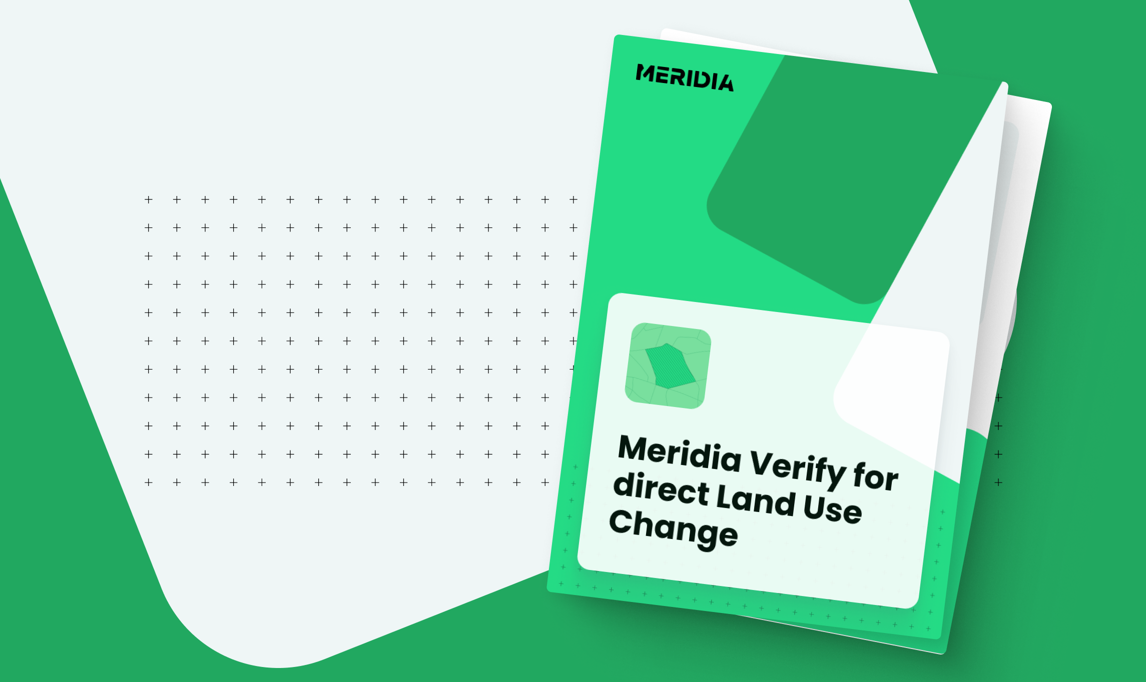
Meridia Verify for direct Land Use Change explains how companies can move towards more granular land use change (LUC) accounting by connecting emissions to the geographies and supply chains they source from.
Where farm-level traceability is available, Verify supports plot-level direct land use change (dLUC) calculations using mapped production areas. Where it is not, jurisdictional direct land use change (jdLUC) provides a transparent alternative based on commodity production within the relevant sourcing geography.
Download the guide to learn:
- How verified farm plot data and commodity-specific mapping support more accurate LUC calculations
- When to use direct LUC (dLUC) versus jurisdictional direct LUC (jdLUC)
- How existing EUDR and DCF supply-chain data can support Scope 3 land use change accounting
- What dLUC outputs and emission factors look like in practice
- Five questions to ask when evaluating a land use change methodology
Download the guide to see how more granular sourcing data can support credible, actionable Scope 3 land use change accounting.