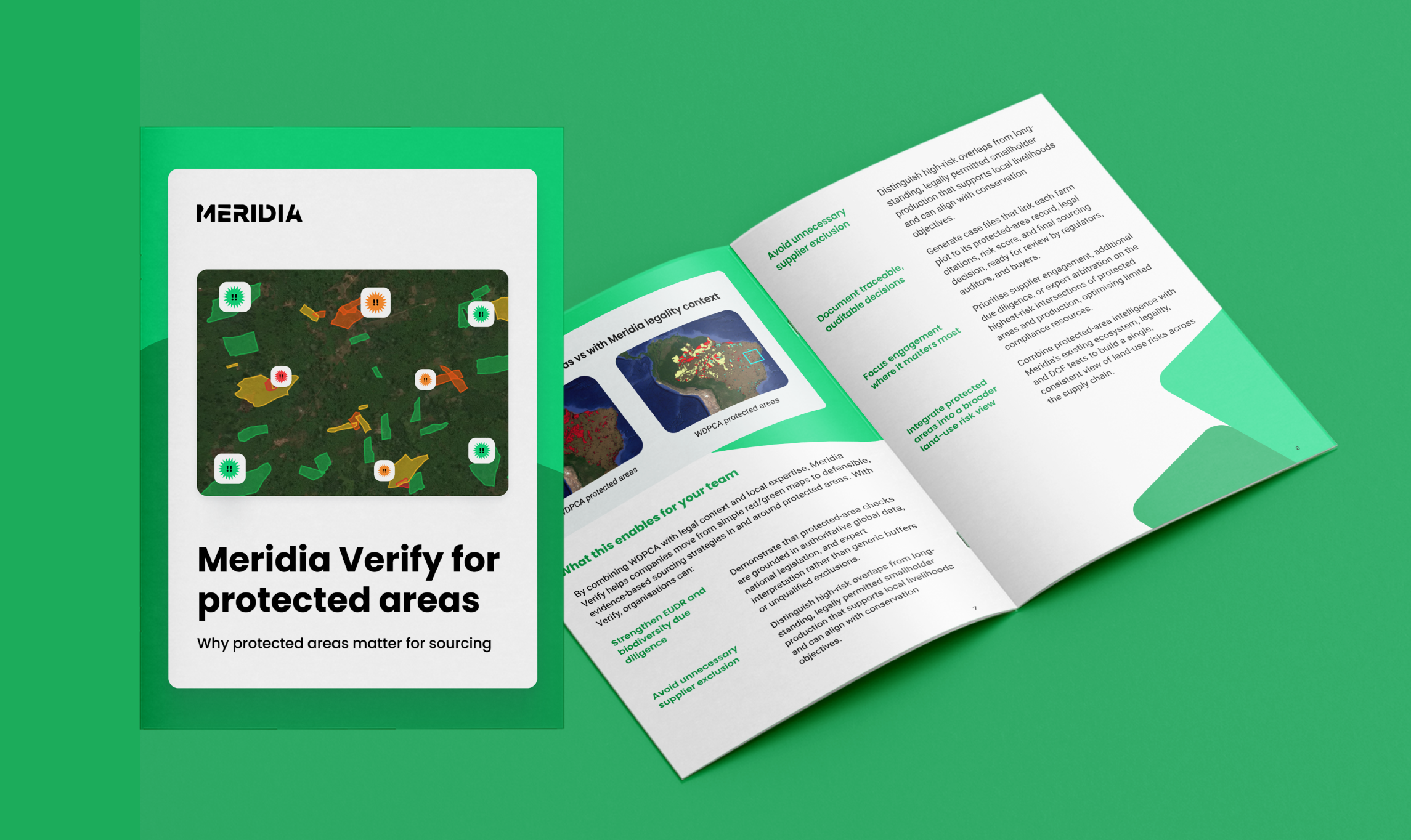
Protected areas can introduce complexity into sourcing decisions, where legal requirements, conservation goals, and on-the-ground practices don’t always align.
Rather than relying on simple map overlaps, Meridia Verify brings together global protected-area data, national legal context, and local expert input to support clear, practical risk assessments.
In this document, we explain Meridia’s approach to protected-area screening and how Verify turns raw geospatial information into usable, auditable sourcing insight.
After you submit your details, you will receive the guide in your inbox immediately.